Monday, June 24, 2013
Storms today, Big Week Ahead for CT
I photographed a rare low precipitation storm today in the midst of all the big high precip ones. I'll post pics soon. the week looks to be a big one as far as storms go, with slight potential tomorrow and almost a promise for the rest of the week.
Friday, June 21, 2013
A Powerful Storm
June 19th showed the same potential the day before had. By mid day, storms had gone up to the west.
 The dominant storm showed disorganized rotation right away
 It did tighten up, but not enough to prompt a tornado warning.
 The high precipitation core quickly crossed towards my location while I attempted to observe the wall clouds progress.
 The rotation was strongest in the area directly in front of me.
 The storm also showed a fantastic tail cloud as it passed away toward the east.

A Photogenic Storm
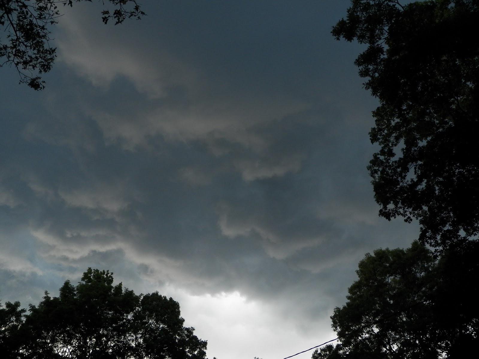
I had the opportunity on the 18th of June to document 2 storms, 1 being severe. The first storm was observed at a distance.
 The first storm glimpsed through the windshield at 40mph
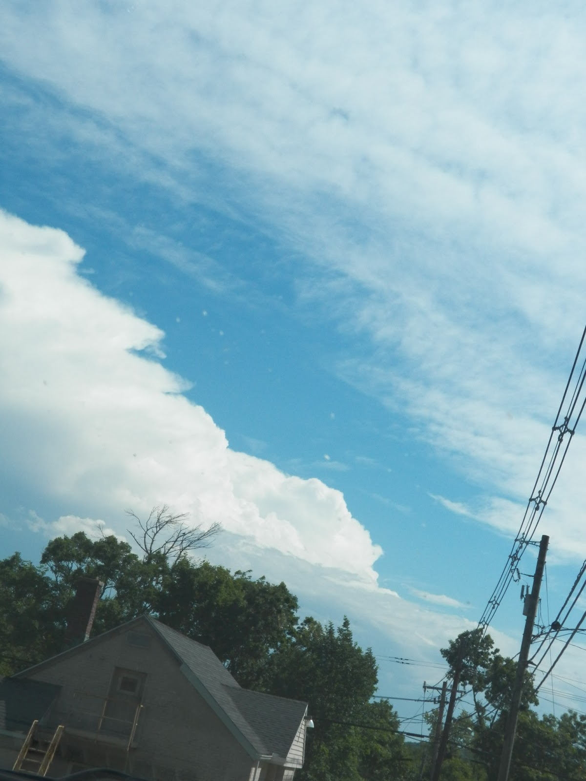
 The second storm showed itself later as a serene tower of cumulus of in the distance.
 It quickly pulled in warm, moist air and developed a sustained updraft and outflow region.
 The powerful storm soon became linear with a pancake stack appearance to it's developing shelf.
 It was the most incredibly well shaped storm that could have materialized so fast. The span of the pictures of the towers to this one was about 15 minutes tops!


 This shot is tops...
 But this one is just jaw dropping!
 Underneath the wind was whipping and some gustnadoes popped up now and then
 The clouds where very eerily colored, and moving fast.
 And just like that, it was gone, a smudge of rain in the distance.

Sunset
The colors of this rain shower at sunset were magnificent. I missed the rainbow unfortunately.


Fist Storm of June


Strong Winds from a Small Storm


First Storm of 2013
This storm occurred in mid march, and was the first of the year to produce lightning.


Tuesday, June 18, 2013
Blizzards
For most people from CT, the memory of the snows of the 2012-2013 winter remain fresh, but unwanted.


Rain
Rain can south the soul, but not if there is to much. Much flooding was observed in June of 2013.


 Kayaking in flooded woods near Mansfield Hollow Dam


May


Intercepting Storms in the Jungles of New England
Storm chasing is usually limited to the great plains and southern states, but New England gets some bad weather as well. I have set out to document it in all of its glory and power, whether it be nor'easter, hurricane, or tornado.
Subscribe to:
Posts (Atom)