I had the opportunity on the 18th of June to document 2 storms, 1 being severe. The first storm was observed at a distance.
The first storm glimpsed through the windshield at 40mph
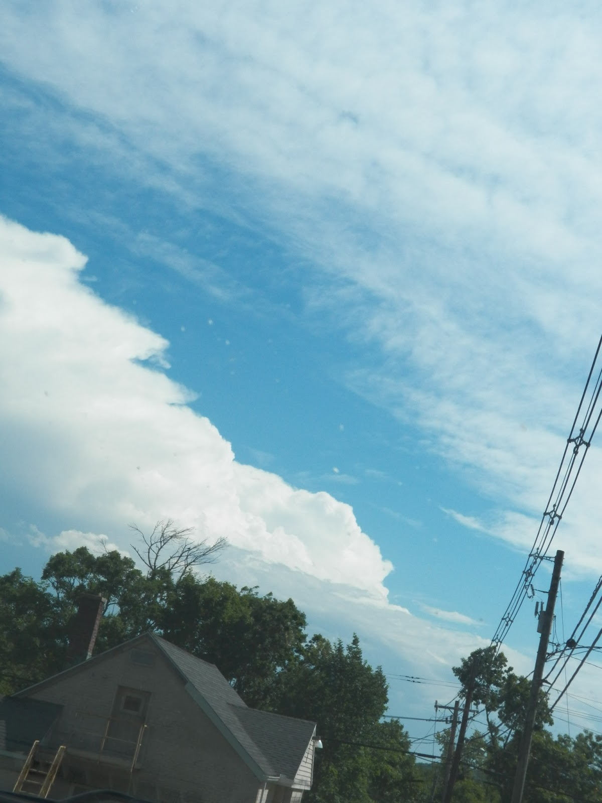
The second storm showed itself later as a serene tower of cumulus of in the distance.
It quickly pulled in warm, moist air and developed a sustained updraft and outflow region.
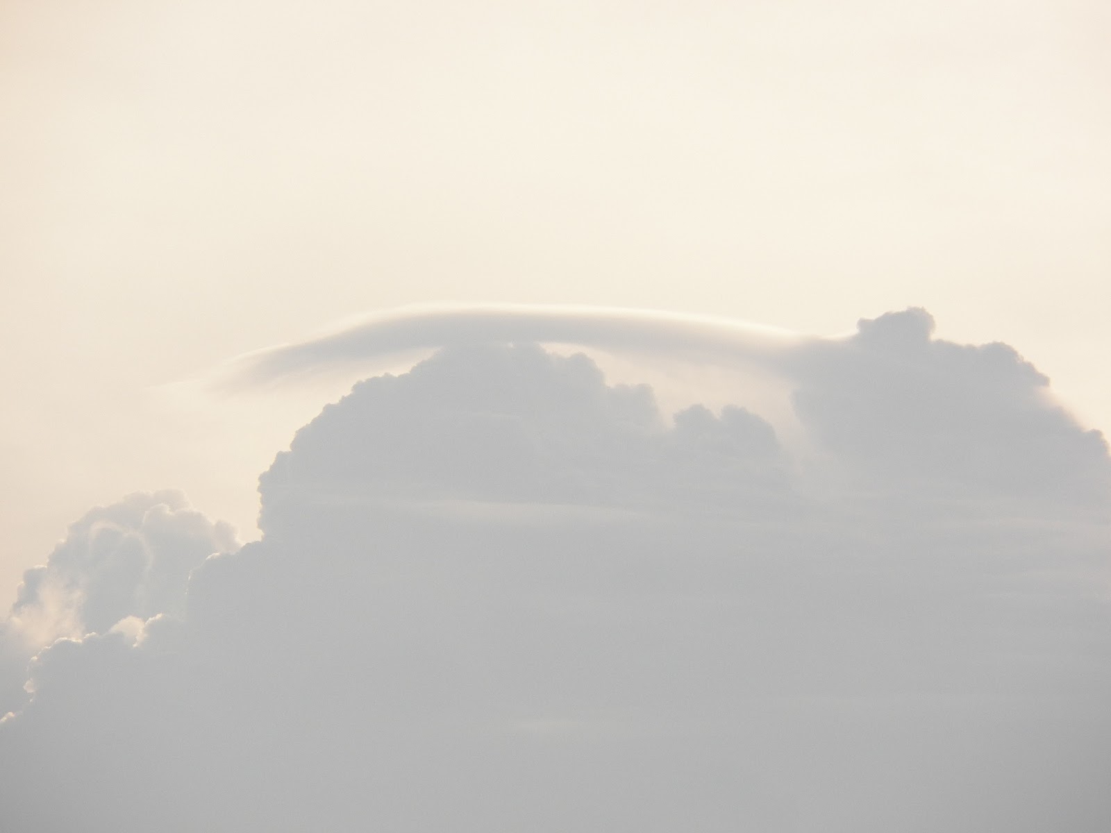
The powerful storm soon became linear with a pancake stack appearance to it's developing shelf.
It was the most incredibly well shaped storm that could have materialized so fast. The span of the pictures of the towers to this one was about 15 minutes tops!
This shot is tops...
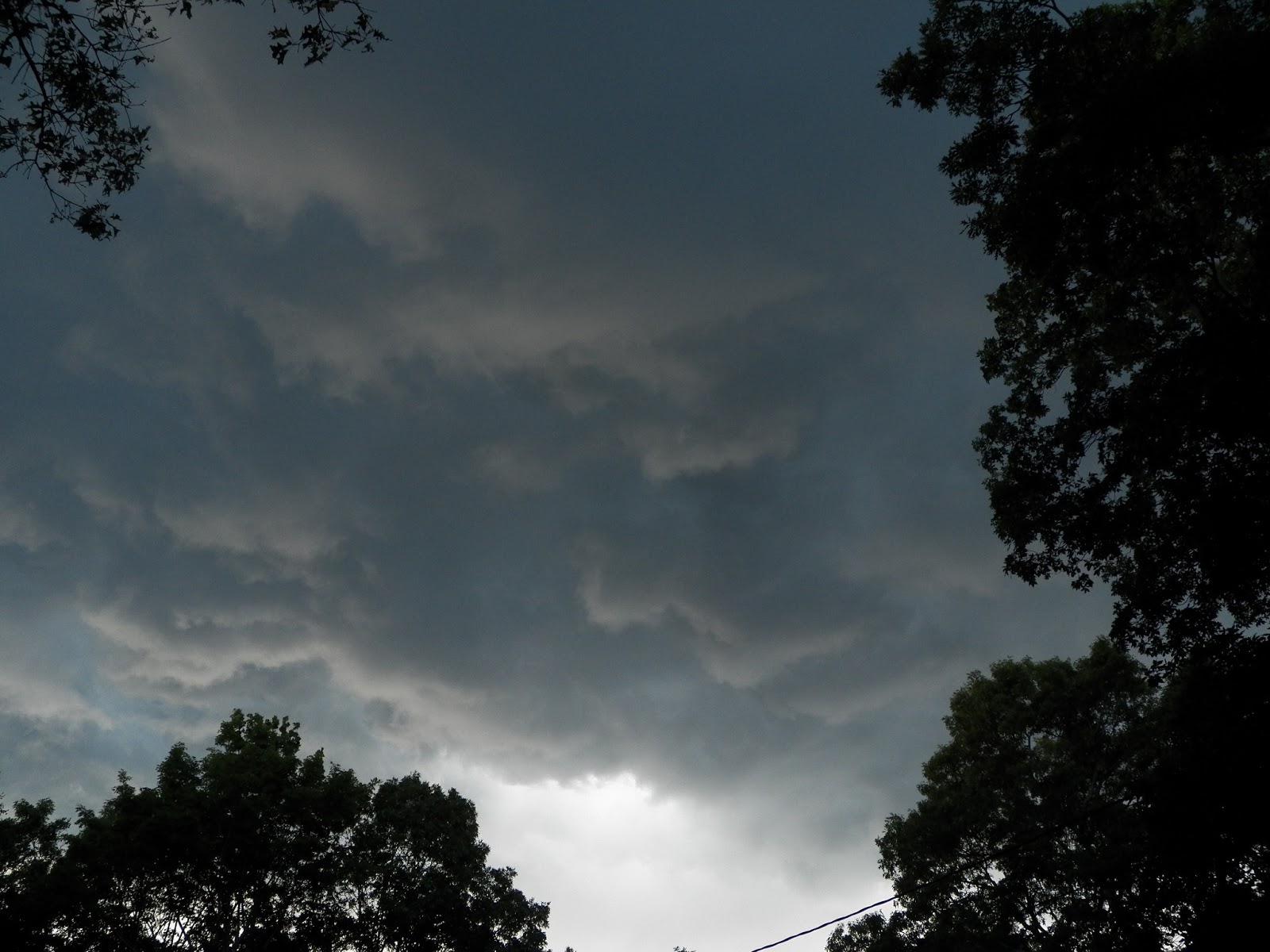
But this one is just jaw dropping!
Underneath the wind was whipping and some gustnadoes popped up now and then
The clouds where very eerily colored, and moving fast.
And just like that, it was gone, a smudge of rain in the distance.